![]() Map of the United States with Kansas highlighted
Map of the United States with Kansas highlighted
Kansas is a state located in the Midwestern United States that is divided into 105 counties and contains 44 census-designated places (CDPs).[1] All population data is based on the 2010 census.
Census-Designated Places
 Fort Riley garrison headquarters
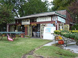 Eisler Bros. Old Riverton Store in Riverton
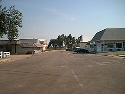 Main Street in Yoder
 Rosalia's main street
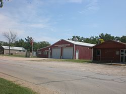
 Old Detroit school house
See also
References
Lists of census-designated places in the United States by state |
|---|
| States | |
|---|
| By population | |
|---|


