Tsing
Pour les articles homonymes, voir Anna Tsing.


Pour les articles homonymes, voir Anna Tsing.
Pour la dynastie chinoise, voir Dynastie Qing.
| Tsing | |

| |
| Caractéristiques | |
|---|---|
| Bassin collecteur | Otokwa |
| Cours | |
| Source | Face Est du Nga Pulu et du Carstensz Oriental |
| · Localisation | Chaîne de Sudirman (monts Maoke) |
| · Altitude | env, 4 200 m |
| · Coordonnées | 4° 04′ 30″ S, 137° 11′ 31″ E |
| Confluence | Otokwa |
| · Localisation | Monts Maoke |
| Géographie | |
| Principaux affluents | |
| · Rive gauche | Nombreux torrents |
| · Rive droite | Nombreux torrents dont le Nasura |
| Pays traversés |  Indonésie Indonésie
|
| Sources : [1] | |
modifier  |
|
La Tsing, en indonésien Sungai Tsing, est une rivière d'Indonésie qui coule dans les monts Maoke[1].
Géographie
La Tsing prend sa source à environ 4 200 mètres d'altitude sur la face Est du Nga Pulu et du Carstensz Oriental, se dirige vers le sud-est puis bifurque vers le sud-sud-ouest avant de se jeter dans le fleuve Otokwa qui rejoint la mer d'Arafura au sud[1],[2]. Un des principaux affluents de la Tsing est la rivière Nasura qui prend sa source sur la face Sud du Puncak Jaya[1], le point culminant de l'Indonésie et de l'Océanie[3].
Annexes
Articles connexes
Références
- (en) (en) Geoffrey S. Hope, James A. Peterson, Ian Allison et Uwe Radok, Western Sudirman Range, Irian Jaya, Rotterdam, A.A. Balkema, , 245 p. (ISBN 90 6191 012 9, présentation en ligne, lire en ligne), p. 1
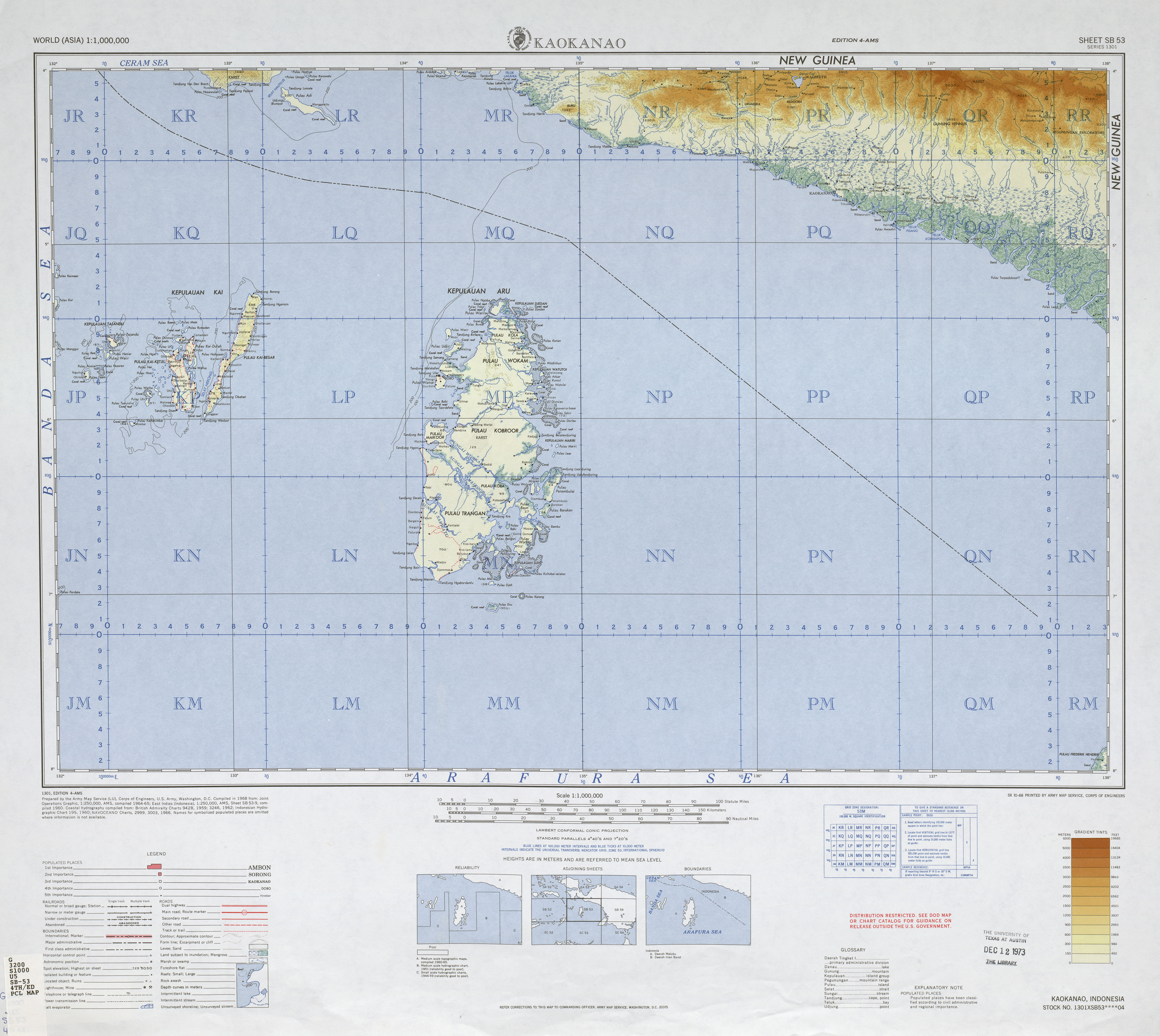
- ↑ (en) Service de cartographie de l'armée américaine, Carte de Kaokanao, (lire en ligne)
- ↑ (en) « UIAA - Greater ranges and major geographical areas » (consulté le )


Content Disclaimer
Informasi ini disarikan dari Wikipedia dan disajikan kembali untuk tujuan edukasi. Konten tersedia di bawah lisensi CC BY-SA 3.0. Kami tidak bertanggung jawab atas ketidakakuratan data yang bersumber dari kontribusi publik tersebut.
- The information displayed on this website is sourced in part or in whole from Wikipedia and has been adapted for the purpose of restating it. We strive to provide accurate and relevant information, however:
- There is no guarantee of absolute accuracy. Wikipedia is an open, collaborative project that can be edited by anyone, so information is subject to change.
- It is not intended to constitute professional advice. The content displayed is for informational and educational purposes only. For important decisions (e.g., medical, legal, or financial), please consult a professional.
- Content copyright. Wikipedia is licensed under the Creative Commons Attribution-ShareAlike License (CC BY-SA). This means that content may be reused with appropriate attribution and shared under a similar license.
- Responsible use. Any risk arising from the use of information from this website is entirely the responsibility of the user.